


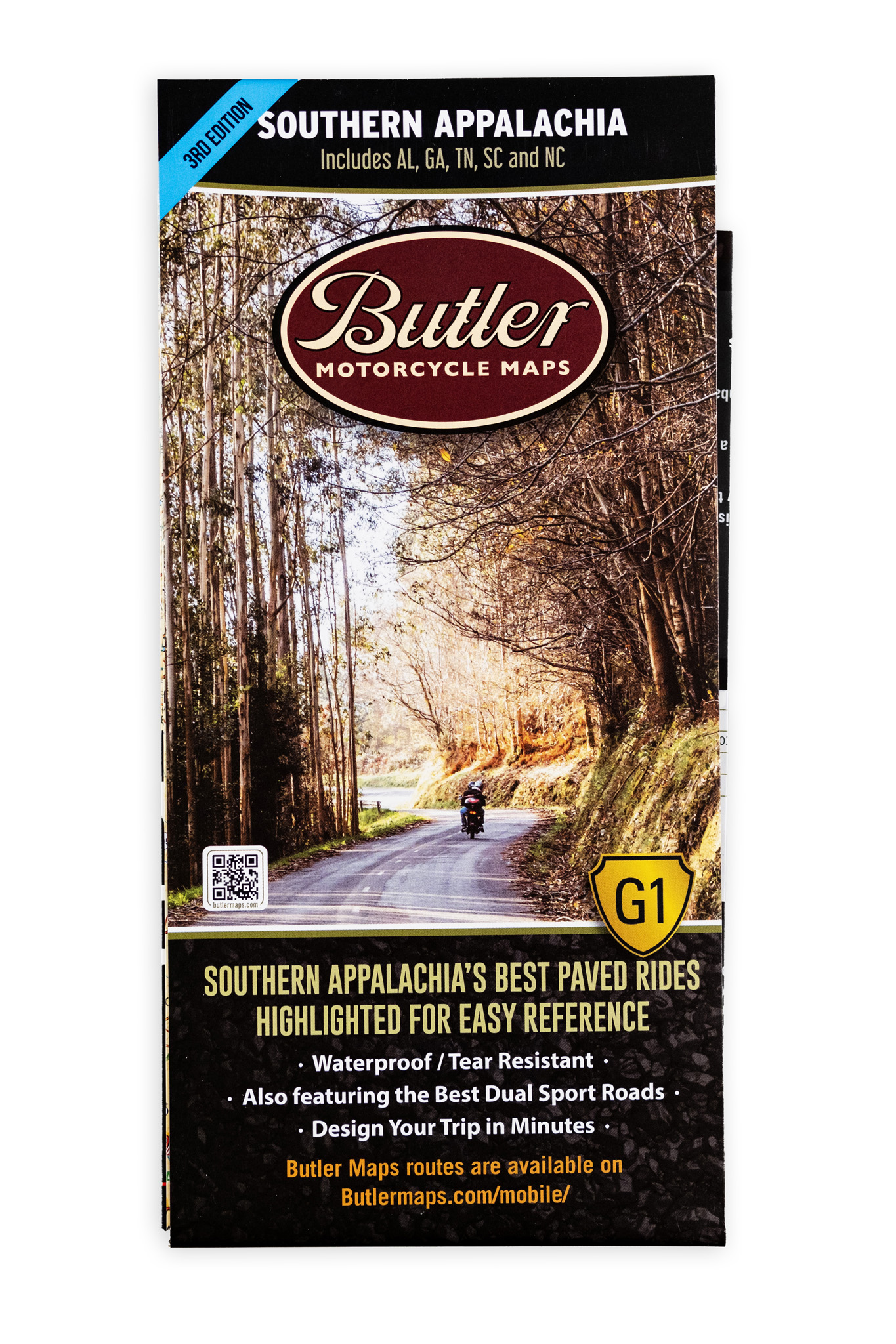


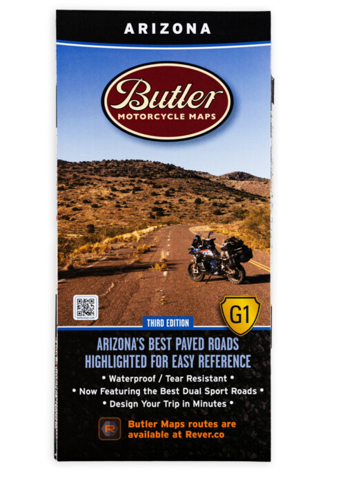
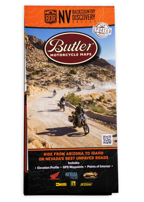
Southern Appalachia G1 Map (AL, TN, NC, SC, GA)
$19.95
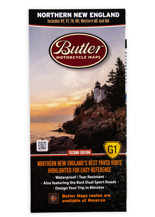
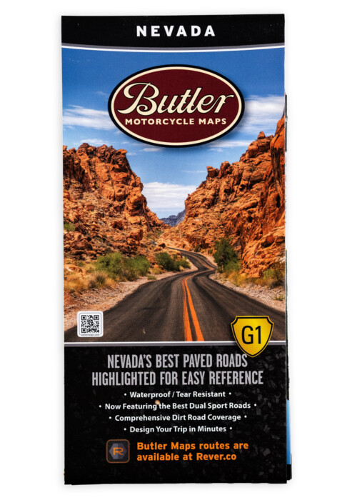
Designed for Motorcycle Travel.
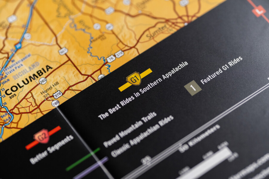
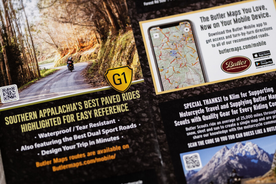
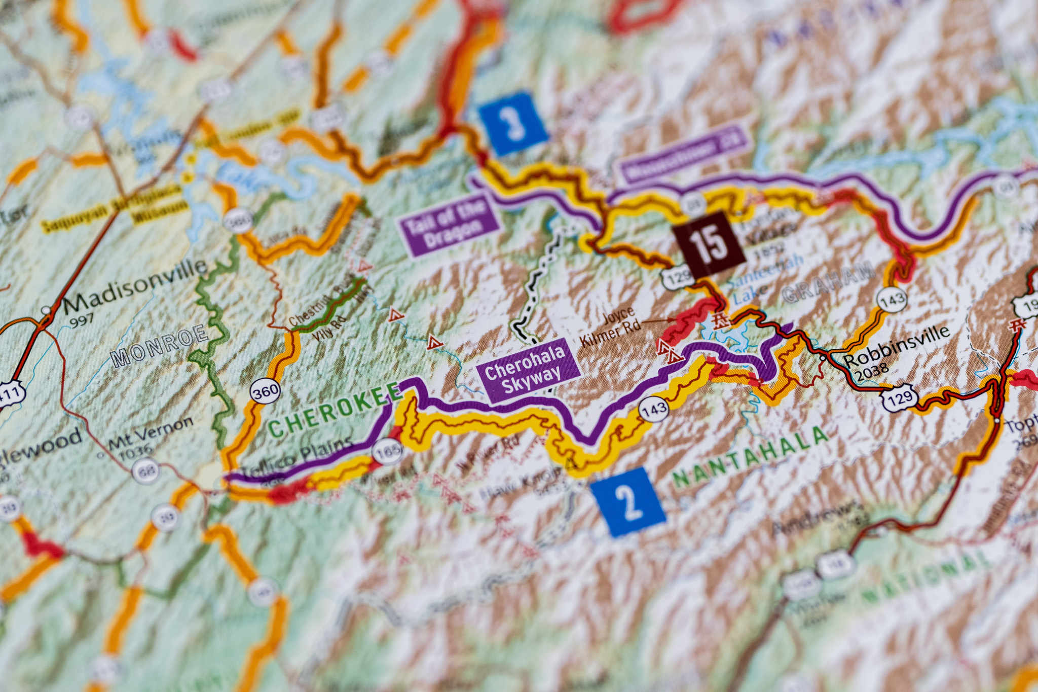
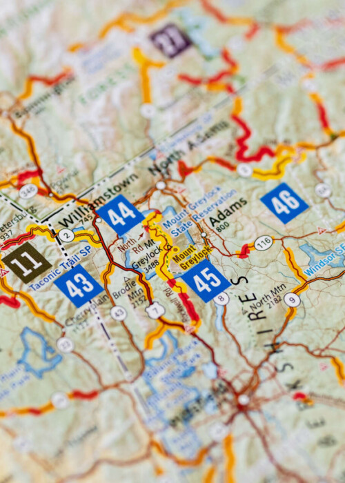
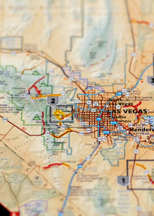
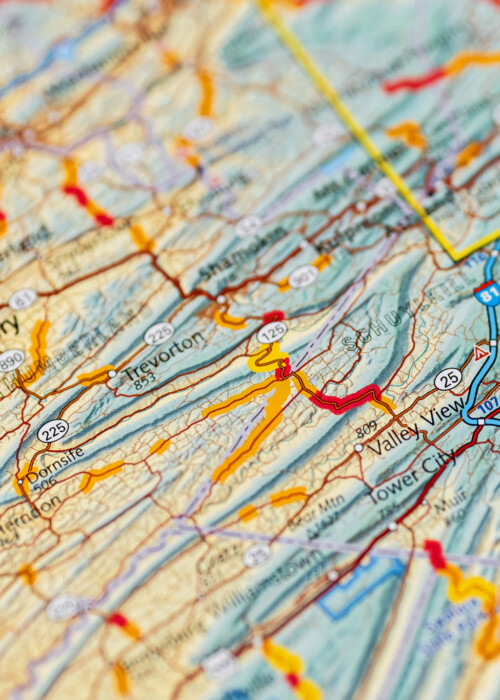
- The Best Roads Highlighted Includes paved & dual-sport roads.
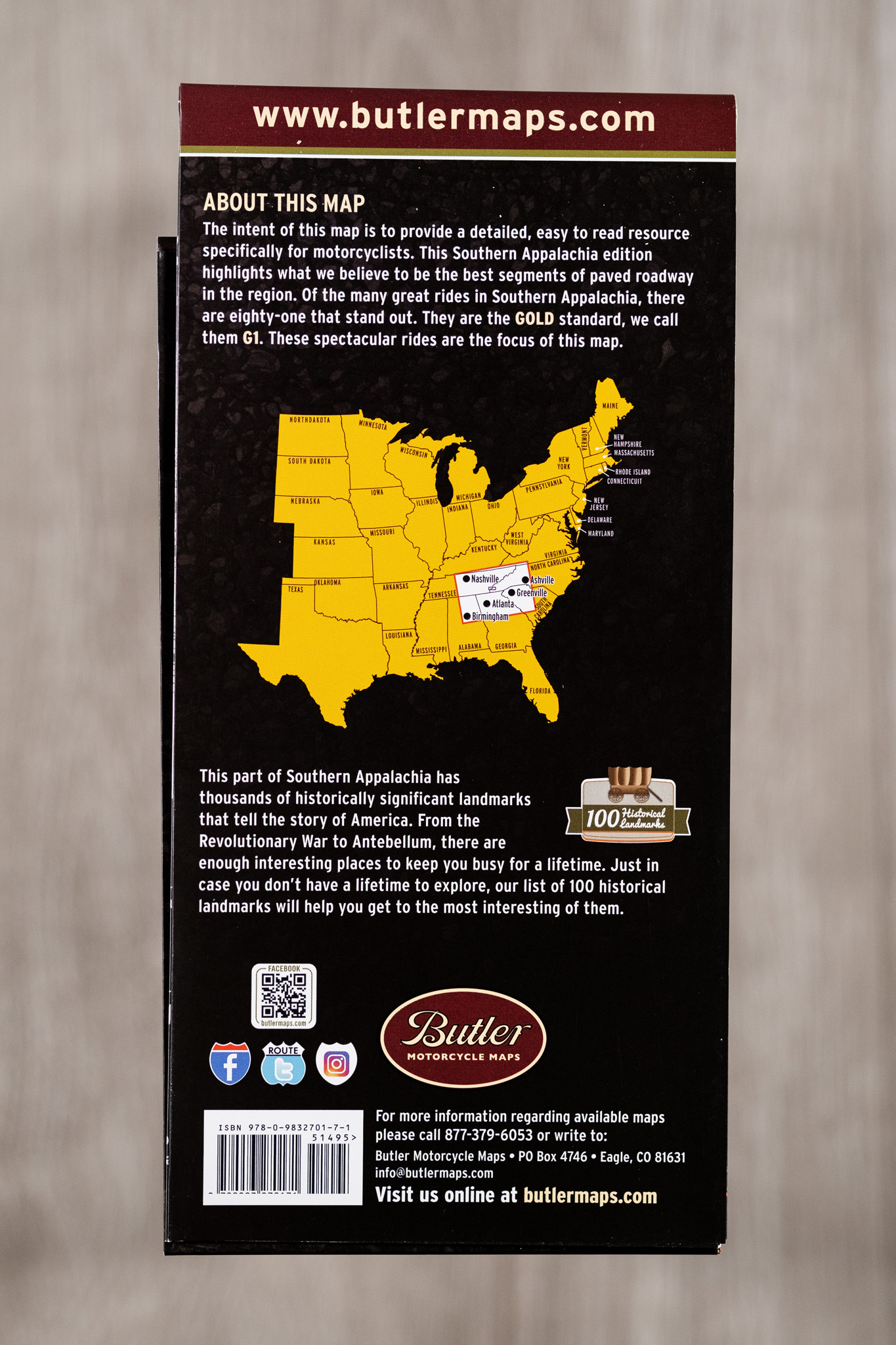
- Waterproof / Tear Resistant The road can be tough on your gear. Butler Maps are designed to withstand abuse.
- Packs Easily All Butler Maps fold to 4.25” x 9” to easily fit in tank bags.
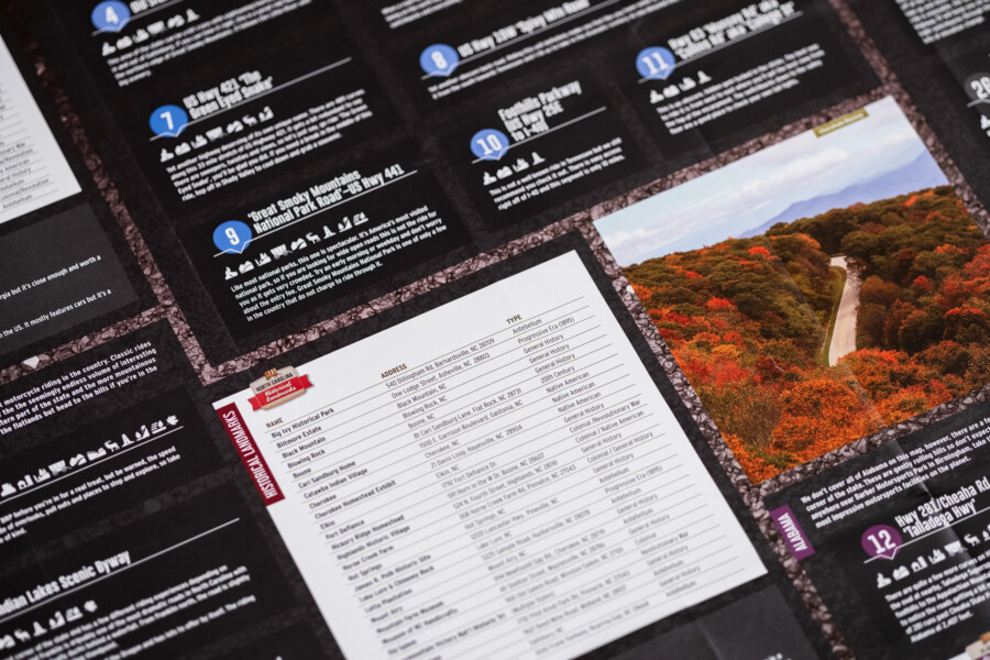
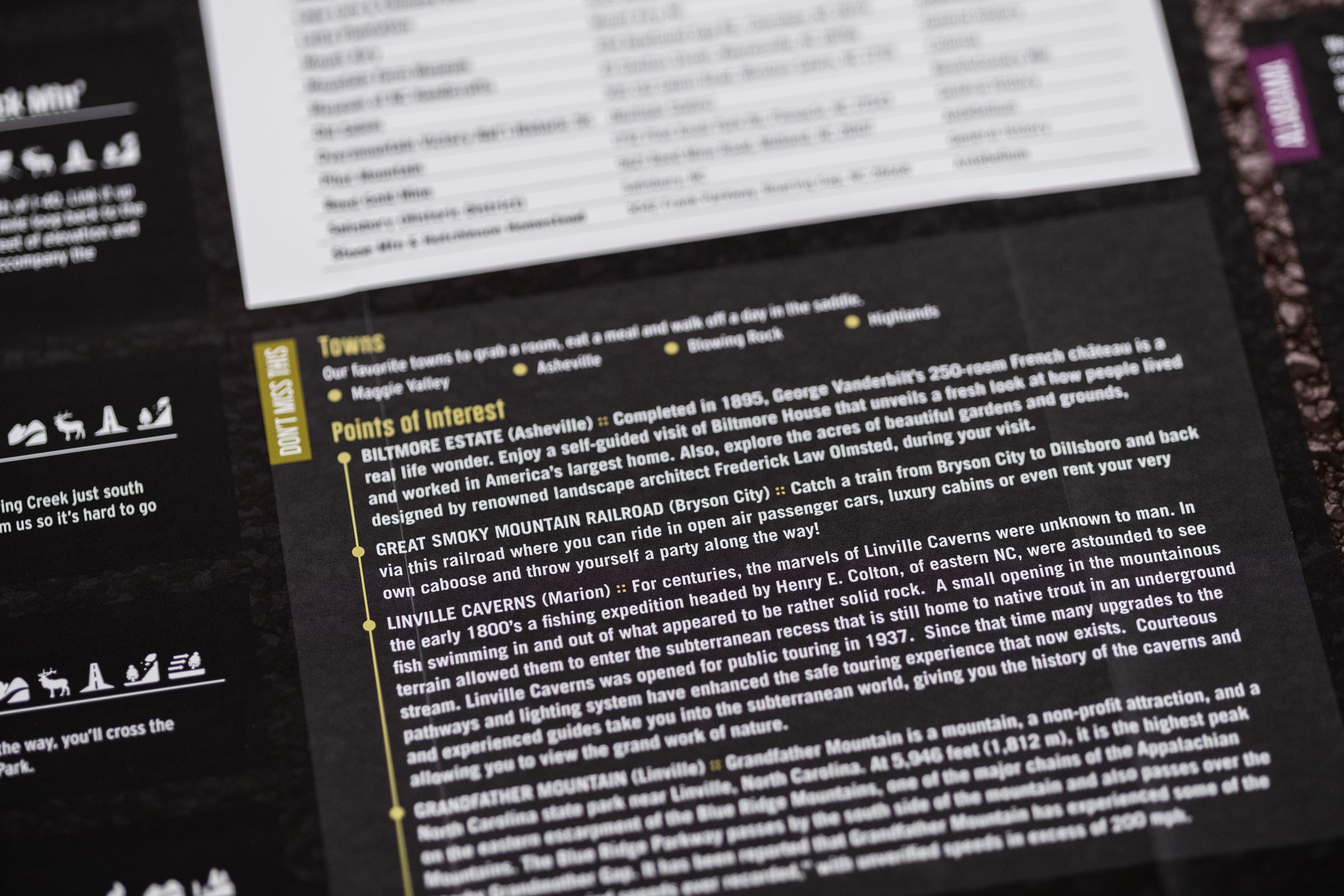
- Detailed Information Including written descriptions of the best roads to ride and towns to relax in.
- Description
- Additional information
- Reviews (1)
Description
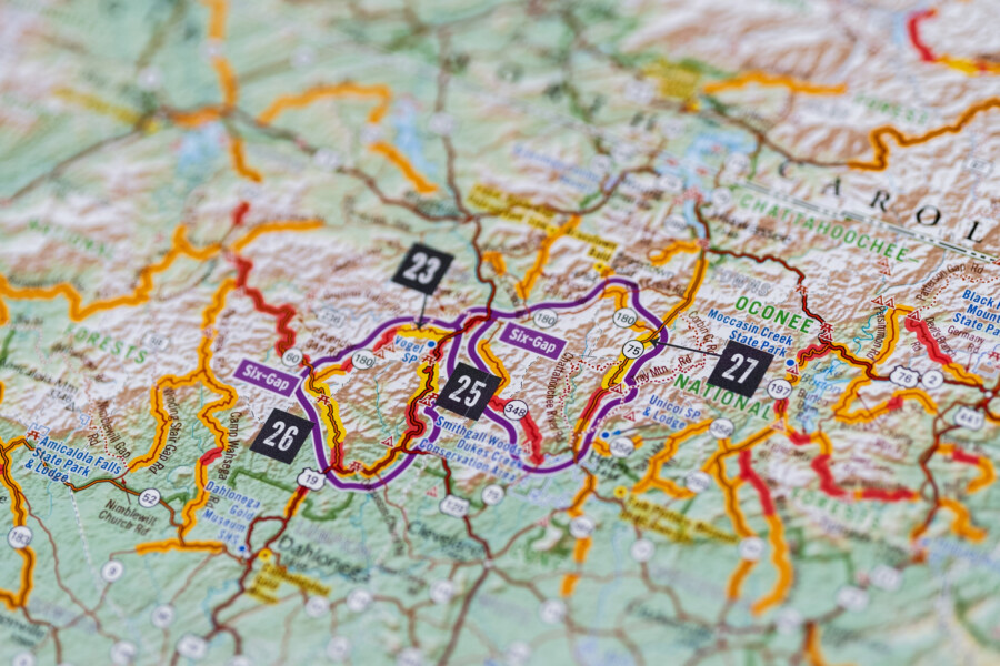
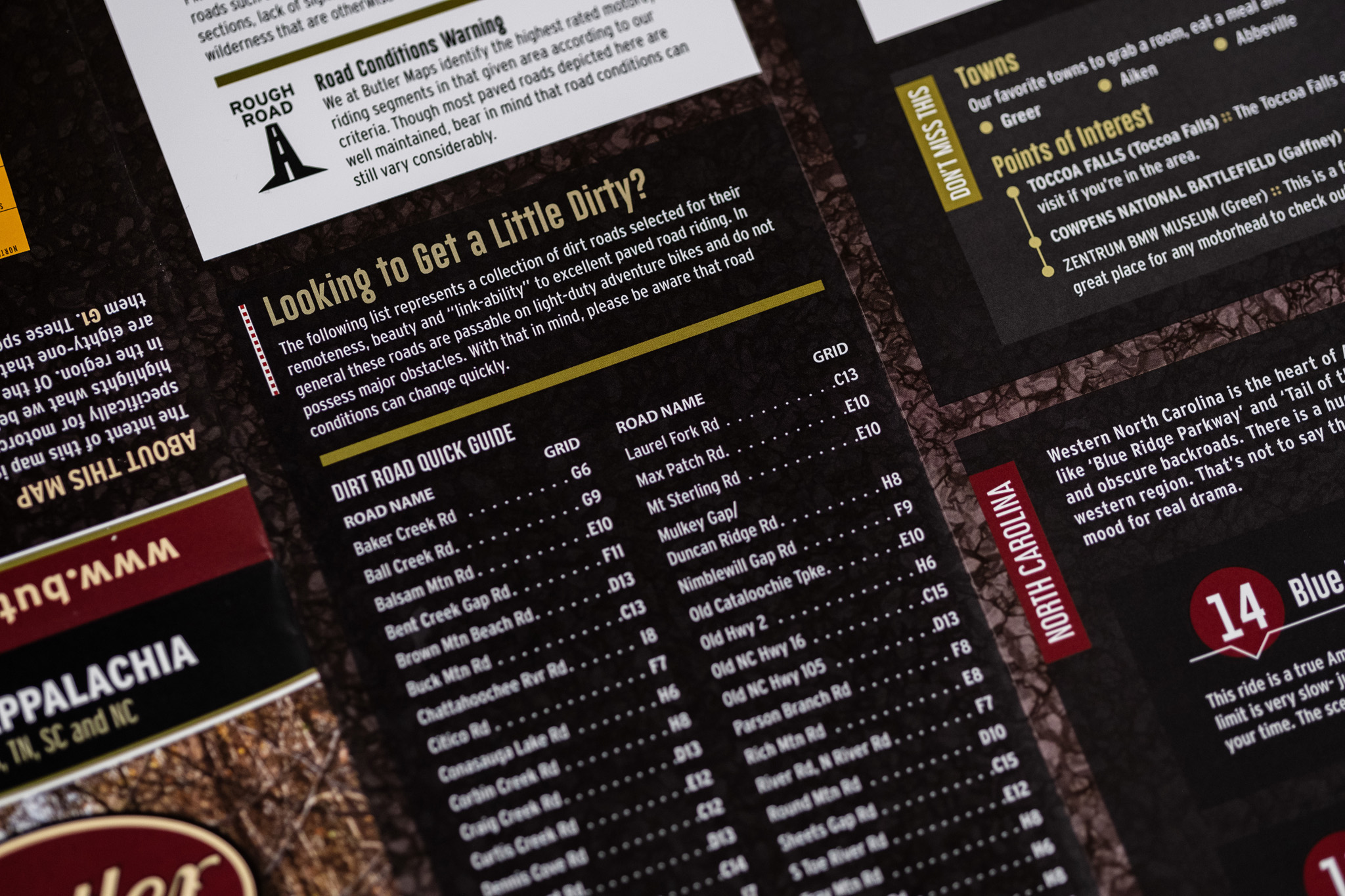
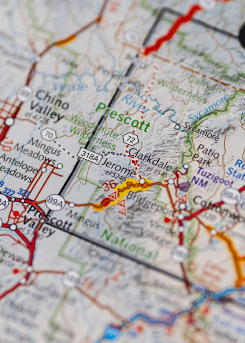
This map highlights the best paved roads in Alabama, Georgia, Tennessee, North Carolina and South Carolina. Roads like ‘The Tail of the Dragon’ and ‘Cherohala Skyway’ are just the tip of the iceberg. The Butler Maps team rode over 30,000 miles into every nook and cranny of the region in search of not only the popular rides but the obscure backroads that only the most seasoned locals know about. All of them are on this map.
Additional information
| Weight | .22 lbs |
|---|---|
| Dimensions | 9 × 6 × .25 in |

Ted VanRandwyk –
Map had a big error, shows on text side that Tail of the Dragon was US Hwy 128, should be 129. Map looks great otherwise with very good detail. Haven’t gone crazy looking for more errors as I’m sure all maps have some errors and I have better things to do. The above error doesn’t make this map useless just kind of a big oops that should have been caught it was hard to miss. I also couldn’t make the above rating thing show anything. 8 out of 10.
butlermaps –
Hi Ted, Sorry for the delayed response. Yes we are aware (and embarrassed) of that error. You’re right it does not necessarily disrupt how the map works it was just a typo that should have been caught. Thanks for the review and safe riding.
court –
Hi Ted,
We have reprinted that map and it is now available sans Tail of the Dragon error.